ESRI - Experts & Thought Leaders
Latest ESRI news & announcements
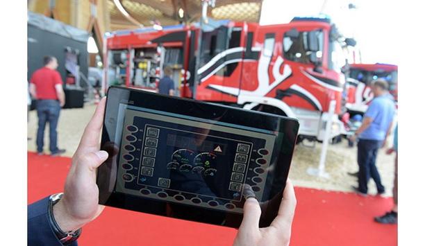
Fire brigades, disaster relief workers and rescue services are facing challenges that did not previously exist in this range. This is because the number of operations and the severity of events are increasing, including severe weather disasters, vegetation fires, the coronavirus (COVID-19) pandemic and the refugee crisis. These are just a few examples. The main theme of INTERSCHUTZ 2022, ‘Teams, tactics, technology – protection and rescue networked’, sums it up. The world’s leading trade fair for fire brigades, rescue services, civil protection and safety (scheduled to take place from June 20 to June 25, 2022) will become a huge showcase for providers of innovative solutions for the present and future – for example in Hall 16. INTERSCHUTZ 2022 A survey conducted some time ago, as part of a study of 650 participants in fire brigades, aid organizations and the Federal Agency for Technical Relief showed that the emergency services are dissatisfied with the digital development in their organizations. From the point of view of the study participants, comprehensive interfaces for compatible IT systems and hardware were considered necessary. ‘Digital twin’ of hazard prevention INTERSCHUTZ global exhibition provides a comprehensive overview of the many possibilities INTERSCHUTZ global exhibition provides a comprehensive overview of the many possibilities. Stefan Truthän, one of the Managing Directors of the fire protection engineering office - hhpberlin, cites a ‘digital twin’ of hazard prevention, as a spectacular example of digital innovations. “This is not about the state of the fire brigade, but about the state of an entire city,” said Stefan Truthän, adding “This will turn us into a digital filling station, so to speak, where the fire brigade would receive information about the exact condition of a building, for example, during an operation.” The company will be showing what this could look like in practice in Hall 16 at Booth F42, at INTERSCHUTZ 2022. Experience 5G use cases live One of the pre-requisites for such and other plans to become a reality and deliver data in real time is the new 5G mobile communications standard. The topic will occupy a wide space at INTERSCHUTZ. For example, various 5G applications will be demonstrated in hall 16 and on the outdoor area, such as the driving of a special signal vehicle in the city traffic of the future, in which automated vehicles will move in addition to human road users. On the way to a networked fire brigade Digitalization and networking are also major challenges in the further development of leadership support tools and software. Eurocommand, for example, offers an innovative platform with its 5th generation leadership support software – CommandX CX5 – with which the functionalities known on the market are extended to include mobile applications with live data transfer, dashboards, guard display and the integration of drone data. But, networking with each other with different systems is also part of the developments (hall 16/F16). However, digitization also makes other solutions to problems possible. Eurocommand Managing Director, Sascha Pomp, commented “If an operations manager can now monitor and control the room temperature in his own home with his smartphone, why shouldn't he also get information about the water level in the fire engine or where the approaching vehicles are located via intelligent solutions?” Geodata takes on an increasingly key role Esri products are used worldwide to visualize the current COVID-19 situation Geodata is playing an increasingly important role. This was demonstrated not least by the heavy rain disaster last summer in the Ahr Valley. Where they were available, leaders could make faster and more accurate decisions. Additionally, geodata can also be useful regardless of large-scale operations. For example, when deciding on the location of a new fire station, as the company - Esri emphasizes. Esri will show how this can work in Hall 16, at Booth H15, at INTERSCHUTZ 2022. By the way, Esri products are used worldwide to visualize the current COVID-19 situation, including by the Robert Koch Institute (RKI). Drones as operational support Another topic that is increasingly coming to the fore is drones. The so-called unmanned aerial vehicles (UAVs) have already proven to be an important tool in hazard prevention, in many large and small operations. Whether in the exploration of deployment sites, the search for missing persons or the detection of fire nests, with the help of thermal imaging cameras – the application possibilities are manifold and offer scope for innovative ideas. Three examples at INTERSCHUTZ 2022 - The German Rescue Robotics Center (DRZ) will be providing information on robot and drone deployment examples, in Hall 17 at Booth D06. Among other things, the German Aerospace Center (Deutsches Zentrum für Luft- und Raumfahrt; DLR) is presenting a project called ‘Live-Lage – Use of drones for the rapid reconnaissance of operational situations’, which was developed together with the Fire Brigade of the German city of Duisburg (Hall 16, E/F/G16). A start-up from Ludwigsfelde in Brandenburg, Germany has completely different ideas. The company - NatureTec is engaged in the development of unmanned cargo drones for fighting forest fires (hall 16/F48). Enhancing communications Digital applications are literally limitless. A few more examples: Hexagon/Intergraf shows digital reality solutions that combine sensor, software and autonomous technologies. For more than 30 years, the company has been equipping the police, fire brigade, rescue services, disaster and plant protection with technologies for operations management and resource allocation (hall 16/G42). Control center technology on exhibit Sinus Nachrichtentechnik will be showcasing control center technology for BOS and industry Sinus Nachrichtentechnik will be showcasing control center technology for BOS and industry, as well as digital alerting, VoIP telecommunications systems, command and control vehicle (ELW) solutions, radio network systems and much more (Hall 16/E15). Swissphone will be showcasing the entire range of comprehensive alerting solutions for a wide variety of industries and a wide variety of tasks – whether for blue light organizations, such as fire brigades, rescue services and the police or for authorities and administrations (Hall 16/A06). Digital networking solutions Digital networking solutions are offered by three other companies that are also closely networked with each other – Divera AI, for example, determines the availability of employees and emergency personnel. Among other things, this involves alerting with feedback function or the planning of personnel availability (Hall 16/E08). rescueTablet presents software right next door (hall 16/ E06) that provides up-to-date information on the situation and location of the operation, maps map material and hydrant plans, provides rescue cards and offers a central solution for required information. And, Status 3 IT (hall 16/E12) offers hardware and software solutions for controlling digital radios in vehicles and radio control panels.
The Emergency Responder Safety Institute (ERSI) has launched a new nationwide platform that collects detailed information directly from first responders about incidents on the roadway where responders or their equipment were struck by a vehicle while operating at a scene. By improving first responder reporting, this new tool will help ERSI track and analyze struck-by incident data, gain a better understanding of exactly how and why these incidents are happening, and help prevent future incidents. Incident reporting tool The new incident reporting tool at ReportStruckBy.com: Accepts reports from all roadway responders, including fire, law enforcement, emergency medical services, fire police and special traffic units, safety service and freeway service patrols, departments of transportation, public works, and towing and Allows any first responder involved in a struck-by incident to report the incident from any device, whether in the field or at the station. Accepts all reports on struck-by incidents of any type, including incidents resulting in death, injury or property damage. Takes approximately 3-4 minutes to complete. All fields are optional so one can report as much as one knows and skip what they don't. ERSI encourages first responders to access the tool and report details any time they are part of a struck-by incident. Transportation incidents The Department of Transportation's National Roadway Safety Strategy PDF reports that transportation incidents are the second most common cause of death among both police officers and firefighters, and the leading cause of death among tow truck operators. Additionally, up to 20% of vehicle crashes are estimated to be secondary in nature, meaning they occur as the result of an earlier incident. These statistics show that when responders operate at a crash scene or deliver post-crash care on or near a roadway, their risk of being struck by passing vehicles in a secondary incident is alarmingly high.
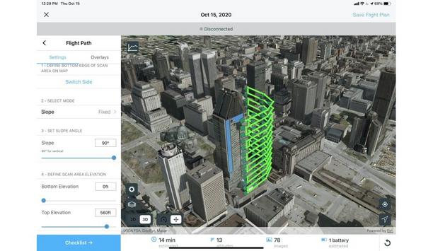
Esri UK announces a new partnership with drone specialists heliguy™ to complete its end-to-end drone solution for the emergency services industry. The final piece in Esri UK’s strategy to offer all parts of the drone workflow, the partnership will provide customers with drone hardware, payloads, and pilot training from heliguy, combined with Esri’s drone flight planning, data capture, data processing, and GIS software. Desktop data processing Esri UK and heliguy will work on joint customer projects, aiming to introduce more efficient workflows and new capabilities, including the rapid creation of FMV (Full Motion Video), real-time drone surveillance programs, digital twins, and 3D models of buildings. New approaches will include both cloud and desktop data processing and storage, enabling faster sharing of drone data and integration with other systems such as GIS. Esri UK's current customers include Humberside Fire & Rescue and Avon & Somerset Constabulary, while heliguy counts London Fire Brigade and Greater Manchester Police as customers. Sophisticated fleet management The new partnership makes their procurement process more efficient" “From creating digital twins and real-time surveillance to emergency planning, asset inspections or fire risk assessment, the use of drones is increasing and becoming more complex,” said Adrian Friend, Head of Defense, National Security and Public Safety at Esri UK. “The end-to-end approach will give users sophisticated fleet management and remote flight planning workflows, combined with geospatial analysis, which is vital in delivering drone data to teams on the ground or in operations centers, so faster decisions can be made. By providing a single source of hardware and software, the new partnership makes their procurement process more efficient.” Streamlining current processes Designed to streamline current processes, from drone hardware selection and management, through to data capture, analysis, and sharing, the partnership will make it easier and more cost effective for customers to create a tightly integrated drone program, which can scale across an organization. “Defense and public safety organizations are now looking to maximize their drone investment as new workflows begin to emerge,” said Ben Sangster, GIS and Survey Lead at heliguy. “New payload sensors recently launched will now enable high-fidelity mapping to be achieved much faster than before, for example. Combining our hardware expertise with Esri’s software will reap new benefits for defense and public safety drone programs.”
The New Future For Fire Agencies
DownloadThe Eight Key Trends in Fire Detection in 2023
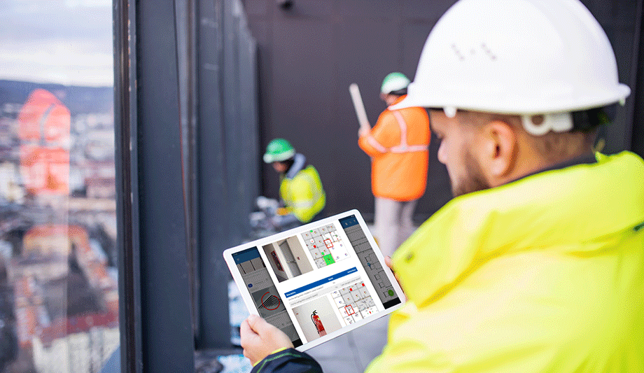
DownloadA Digital Platform to Improve Fire Safety Compliance and Inspections
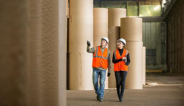
DownloadOvercoming the Challenges of Fire Safety in the Paper Industry
DownloadCarbon Monoxide: Creeping Killer Caught In The Act
DownloadESRI ArcGIS complete system for designing and managing solutions


