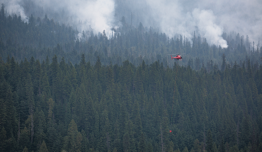
CoreLogic, a global property information, analytics and data-enabled solutions provider, released updated data analysis showing 23,044 homes with a total reconstruction cost value (RCV) of approximately $8.6 billion are at high or extreme risk of wildfire damage within the perimeters of the Camp Fire in Northern California and the Woolsey Fire in Southern California.
Due to the increased containment of these two wildfires, CoreLogic has revised the area of analysis from ZIP code regions to the actual wildfire perimeters. This provides a more precise evaluation of the risk associated with these wildfires. The tables below break down the risk and corresponding RCV for structures affected by each wildfire and its associated perimeter.
Quantifying the risks from wildfires
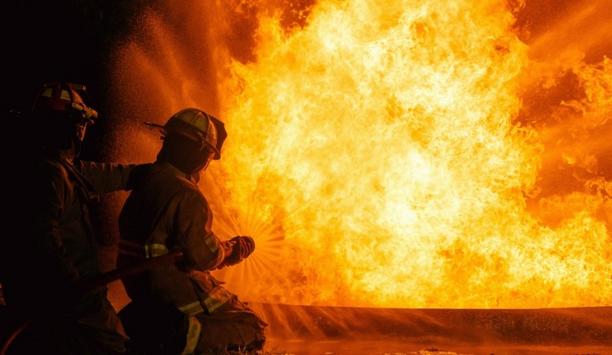
RCVs represent the cost to completely rebuild a property in the worst-case scenario of total destruction of the structure, including labour and materials by geographic location. While other hazards may cause partial destruction but rarely eliminate an entire property, wildfire events are more likely to cause total loss to structures affected.
The tables calculate the number of homes at high or extreme risk from wildfire damage within the perimeterThe tables calculate the number of homes at high or extreme risk from wildfire damage within the perimeter and quantify the risk of homes just outside of the perimeter for both the Camp and Woolsey Fires. However, due to the unpredictable nature of wildfires, it is important to note that even within the perimeter, not all homes will suffer damage; of those that do suffer damage, the damage will not all be equivalent.
Following the containment of the wildfires, CoreLogic will assess the damage and provide a post-catastrophe loss estimate for these areas.
CoreLogic Wildfire Risk Score
The CoreLogic Wildfire Risk Score is a deterministic wildfire model which is as comprehensive as it is granular. It covers 15 states: Alaska, Arizona, California, Colorado, Florida, Idaho, Montana, Nevada, New Mexico, Oklahoma, Oregon, Texas, Utah, Washington and Wyoming.
It evaluates the risk of a property to wildfire by returning an easy-to-understand, normalized 5 to 100 score, giving insight into the potential risk of a wildfire. It considers slope, aspect, vegetation/fuel, and surface composition as well as proximity to higher risk areas that could affect the property via windblown embers. These factors are all weighted differently and combine to form the score.